


Customer Reviews:
| Full Name: | |
| Title: | |
| Description: | |
| Rating Value: | |
| Time: | 2025-10-08 10:33:39 |
Customers who viewed this item also viewed:


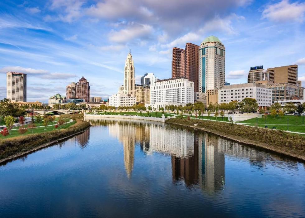
/columbus-skyline-in-daylight-686783796-5b298895fa6bcc003608fa92.jpg "How to Celebrate July Fourth in Columbus, Ohio")


